Wind Vector
A free 3D map of the wind, from sea level to 100,000 ft.
Open windvector.app (opens in a new tab)
What it shows
- Forecast wind at 21 heights, from the ground to 100,000 ft
- Ten color modes, from wind speed and temperature to lift and convection
- Turbulence and icing overlays
- Radar, cloud cover and active tropical storms
- Seven days back and 15 days ahead, hour by hour
- Real terrain under every square
The map
Pick a place and the map opens a square 55 km across, with the wind filled in from the ground up. Light and dark, on a desktop or a phone.
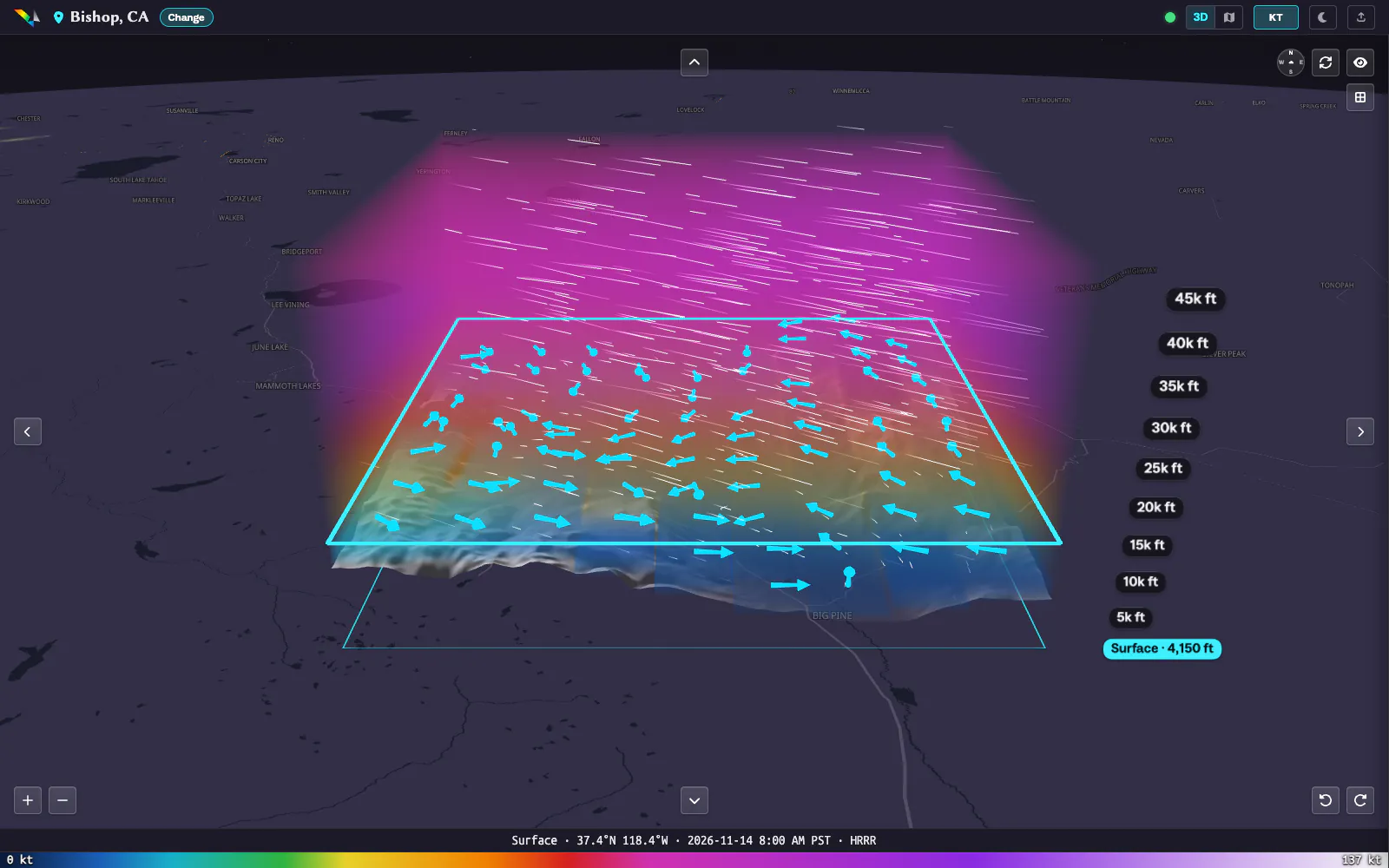 3D view, dark
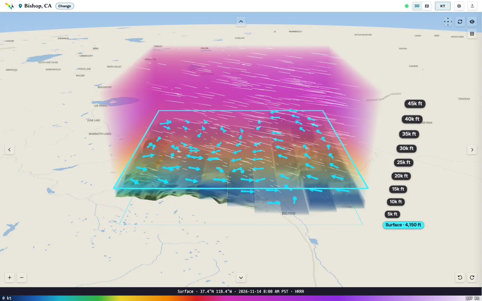 3D view, light
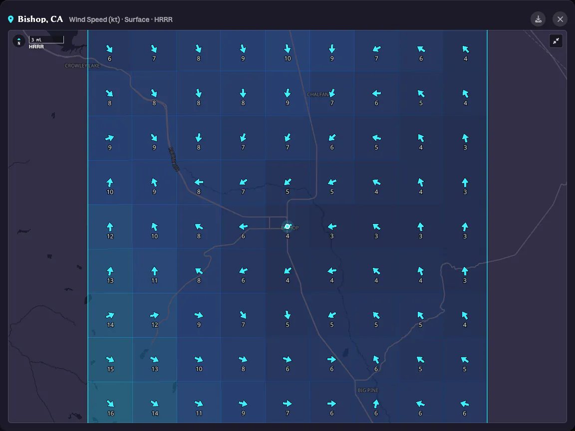 Big map, dark
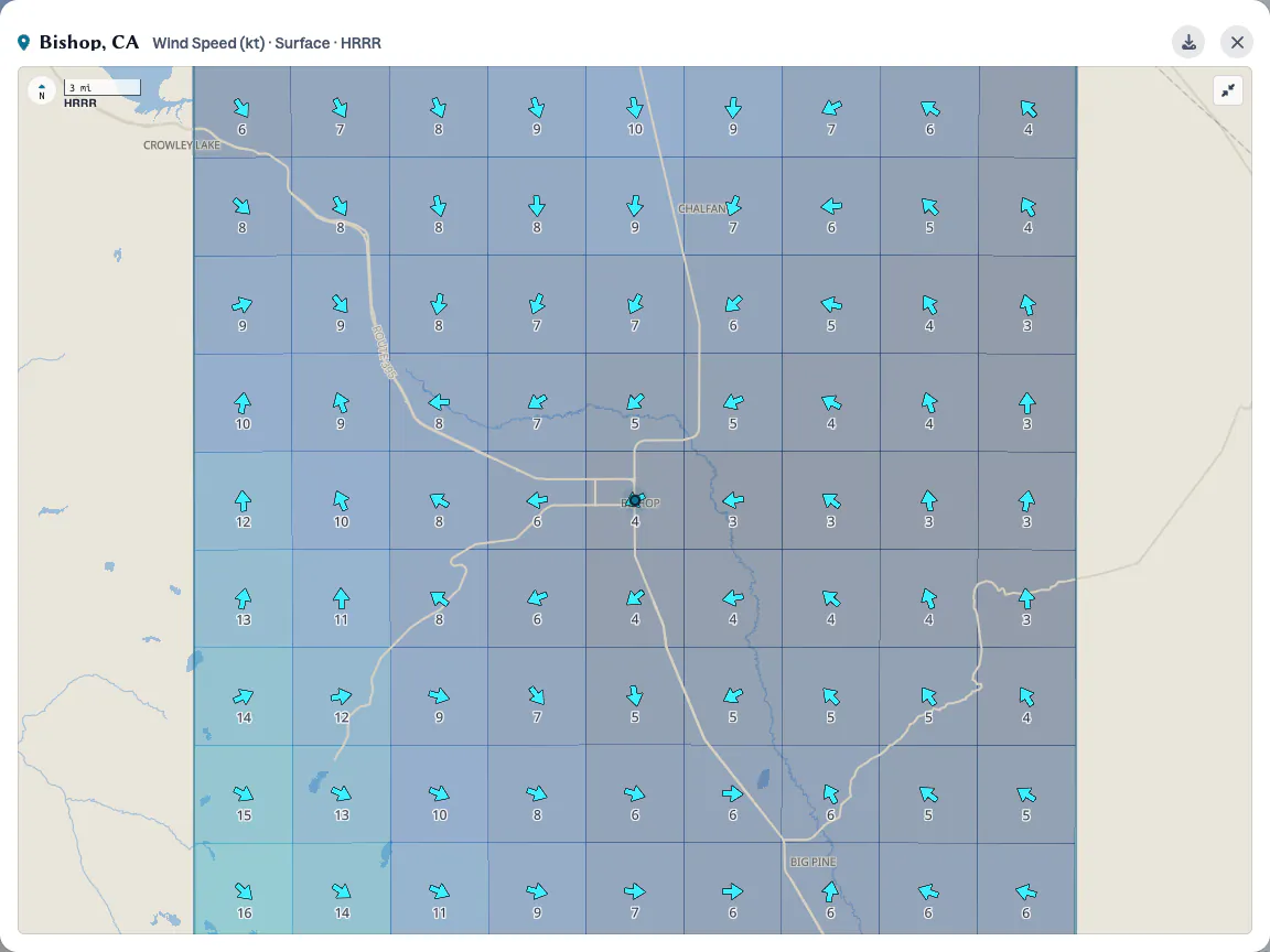 Big map, light
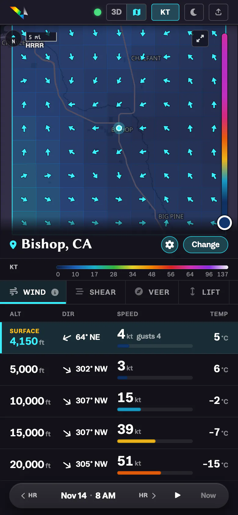 Phone, dark
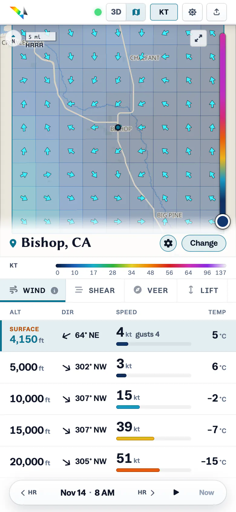 Phone, light
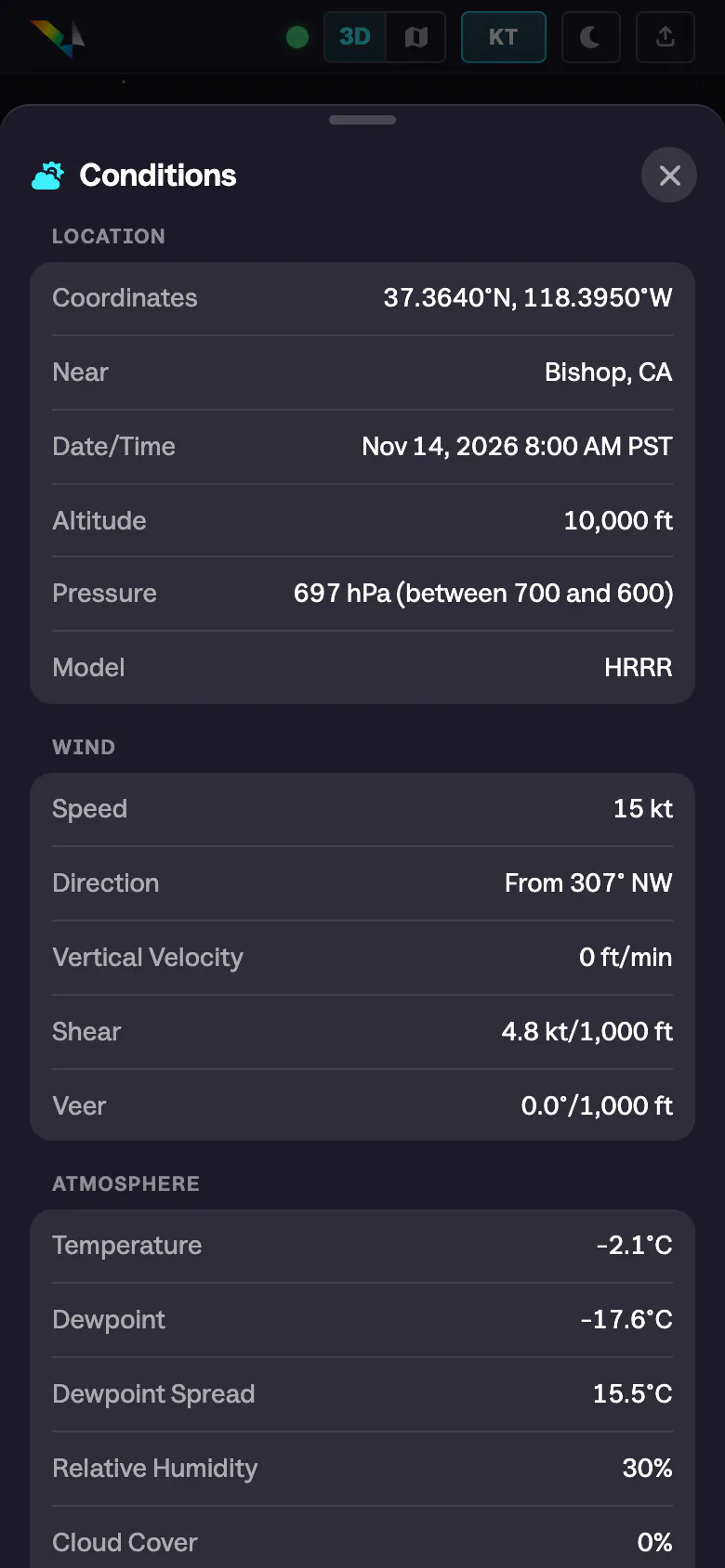 Conditions, dark
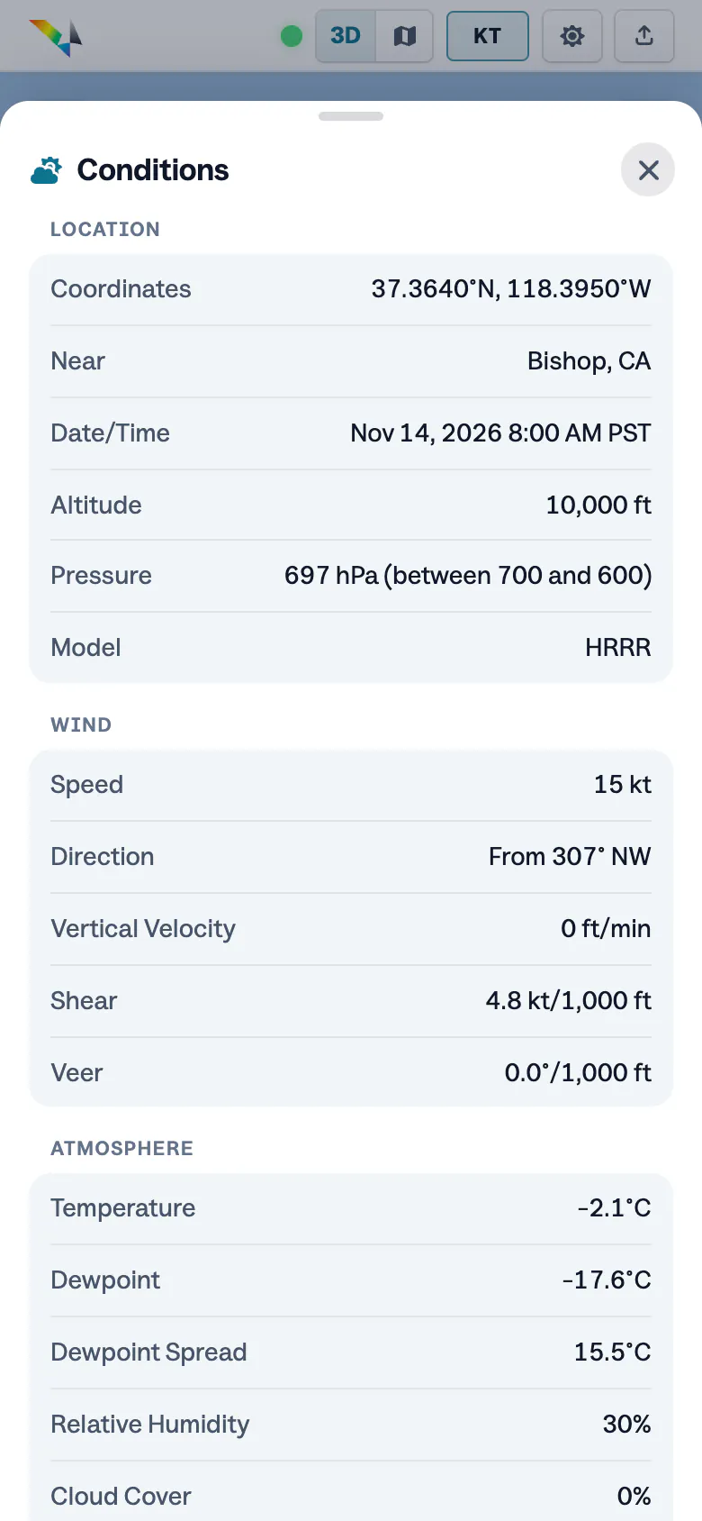 Conditions, light
How it’s built
No backend. The browser pulls forecasts straight from Open-Meteo and builds the map itself.
A 3D scene sits inside a globe map, over real terrain. Each square is kept until the top of the hour, then fetched fresh.
- 21
- heights, ground to 100,000 ft
- 81
- cubes per height in a square
- 55 km
- on each side of a square
- 22 days
- of hours, 7 back and 15 ahead
The brand
The mark is a V with a wind barb cut into its stroke.
A rainbow on the left stroke, white fading in on the right. Around it, a deep night and one cyan accent.
Construction
Full color
White
Black
- Red#ED3535
- Orange#F6A32D
- Yellow#FEFD28
- Green#34C468
- Blue#0DA6E1
- Violet#4D3EA0
Palette